Geospatial analytics are reshaping how nature, agriculture and climate teams plan, monitor and protect the environment. They help project developers and ecologists make sharper decisions using location‑based evidence drawn from Geographic Information Systems (GIS), spatial data analysis and ecological datasets.
Geospatial analytics support ecologists with:
- Clearer insights into habitats, soils and water systems.
- Faster project planning for restoration and agriculture.
- Stronger evidence for climate reporting and funding.
- Better long‑term monitoring of ecological change.
What geospatial analytics actually are
Geospatial analytics use location‑linked data to understand patterns, trends and relationships across physical environments. This includes anything tied to coordinates, boundaries or mapped features. According to IBM, geospatial data combines location information with attributes and time to reveal patterns that would otherwise be missed .
GIS platforms bring these datasets together so users can map, analyse and visualise environmental conditions. This supports everything from habitat mapping to soil moisture tracking and carbon project planning. GIS is widely used in ecological impact assessment and conservation planning, helping teams interpret environmental change at scale.

Why geospatial analytics matter for ecology and agriculture
Stronger ecological insights
Geospatial tools help ecologists understand species movement, habitat distribution and ecosystem pressures. Research shows that geospatial data enables detailed analysis of ecological processes, from animal tracking to ecosystem mapping.
Better project planning
For Irish and European agriculture and restoration teams, spatial data analysis supports:
- Site selection for rewetting, afforestation or regenerative farming.
- Soil and hydrology assessments.
- Biodiversity baseline mapping.
- Monitoring of restoration progress over time.
More accurate reporting
Climate and nature projects increasingly require robust evidence. Geospatial analytics provide measurable, repeatable datasets that strengthen funding applications, compliance reporting and long‑term monitoring.
How geospatial analytics work in practice
1. Collecting ecological datasets
Data comes from satellites, drones, field sensors and open ecological datasets. Remote sensing and GIS textbooks highlight how modern tools integrate radar, LiDAR and hyperspectral data to support ecological analysis at multiple scales.
2. Processing spatial data
Spatial data analysis techniques clean, classify and interpret raw data. This might include:
- Identifying vegetation types
- Mapping soil moisture
- Detecting land use change
- Analysing carbon stock potential
3. Visualising and interpreting results
GIS platforms turn complex datasets into clear maps and models. These outputs help project teams quickly understand risks, opportunities and environmental conditions.
4. Applying insights to real projects
For Irish and European users, this can support:
- Peatland restoration planning
- River catchment management
- Biodiversity net gain assessments
- Climate adaptation strategies
- Sustainable agriculture decision making

Why this matters for Irish and European nature work
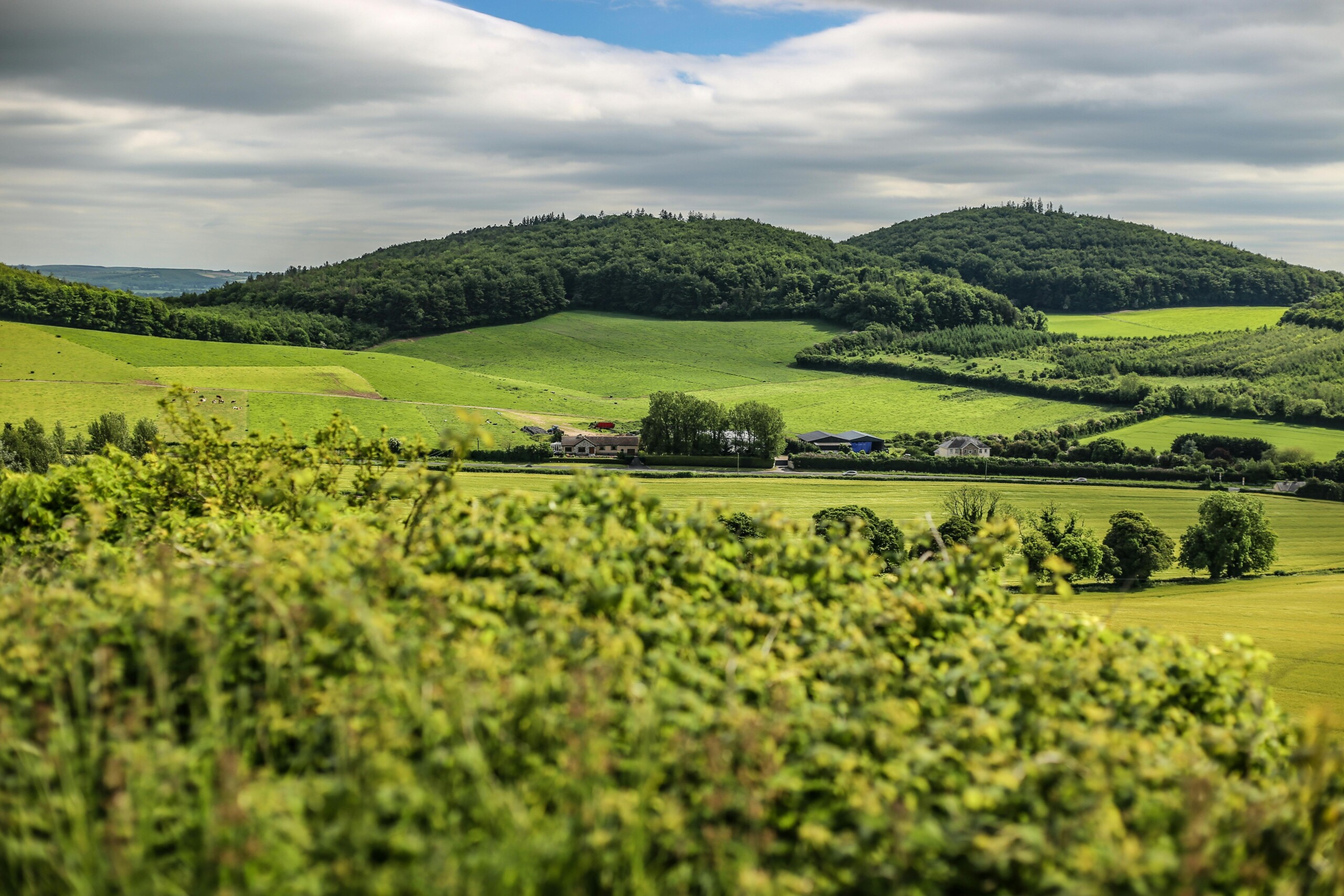
Ireland’s mix of peatlands, grasslands and coastal ecosystems makes spatial analysis especially valuable. Geospatial analytics help teams:
- Identify restoration hotspots
- Track peatland rewetting effectiveness
- Support CAP‑aligned agricultural practices
- Strengthen biodiversity and climate reporting
- Improve cross‑border environmental collaboration
With climate pressures rising, these tools give practitioners a sharper, faster and more reliable way to understand environmental change.
Dulra provides customisable, modular solutions for nature-based projects designed to streamline funding, data management, project coordination and reporting. Learn more.